
Operational Use Cases
Large Properties
Drone teams provide rapid overhead assessment of expansive properties, open land, and remote areas. A single UAV operation covers ground that would take multiple foot patrols hours to inspect.
Interactive Coverage Simulation
Hover over each zone to see what the drone checks and what gets reported.
Perimeter
Fence line integrity, access points, unauthorized entry
Breach alerts, perimeter activity logs
Roof / Elevated
Rooftop access, HVAC units, structural concerns
Thermal imaging, maintenance issues
Parking / Lots
Vehicle activity, unauthorized parking, lighting
Vehicle counts, incident documentation
Access Points
Entry/exit monitoring, traffic patterns, congestion
Flow analysis, bottleneck identification
How Drone Deployment Works
ASSESS
Flight plan developed for target area and surveillance objectives.
Map coverage zones, identify priorities, verify airspace clearance.
Airspace clearance and site assessment
Coverage zones and flight path mapping
DEPLOY
Drone team arrives with equipment and coordinates with ground units.
Position drone team, establish command link, brief ground units.
Pre-flight checks and equipment setup
Live feed integration with command center
EXECUTE
Aerial surveillance provides real-time intelligence to ground teams and command.
Execute flight plan, stream live feed, coordinate with patrol units.
Live overhead coverage and monitoring
Thermal imaging and rapid area assessment
REPORT
Flight logs and recorded footage delivered for documentation and review.
Archive footage, document incidents, deliver flight logs and observations.
Aerial imagery and video archive
Incident observations and operational notes
Why Drones Matter
Reduce Officer Exposure
Aerial assessment eliminates officer risk in unknown or hazardous situations. Check rooftops, elevated areas, and remote zones safely.
Faster Aerial Assessment
Cover large properties in minutes instead of hours. Real-time overhead perspective speeds up decision-making and response.
Better Perimeter Visibility
Continuous overhead monitoring detects perimeter breaches and unauthorized activity faster than ground patrols alone.
Enhanced Documentation
Recorded footage provides superior after-action review and evidence documentation. Thermal imaging captures details ground units miss.
Mission Clips
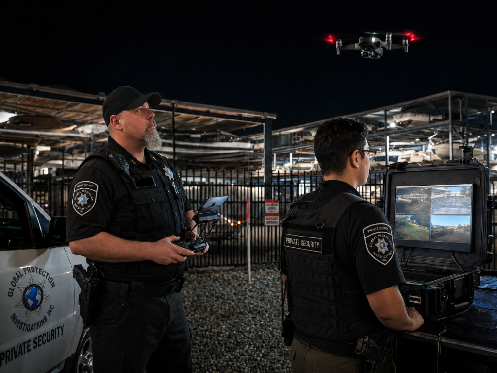
Live Night Operations — GPI drone operators monitoring boat storage facility at night
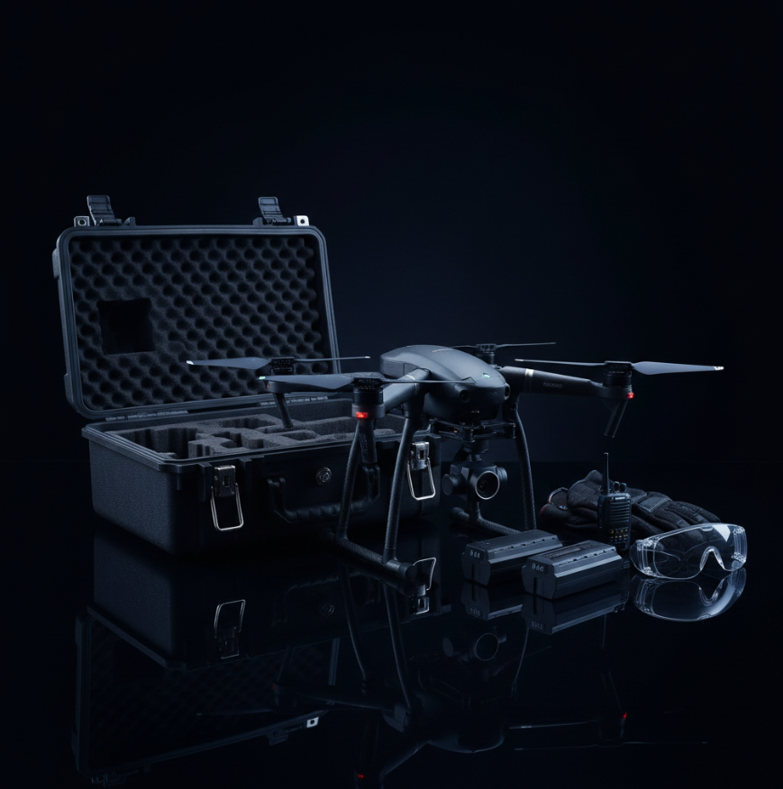
DJI Equipment Kit — full drone, controller, batteries, and safety goggles

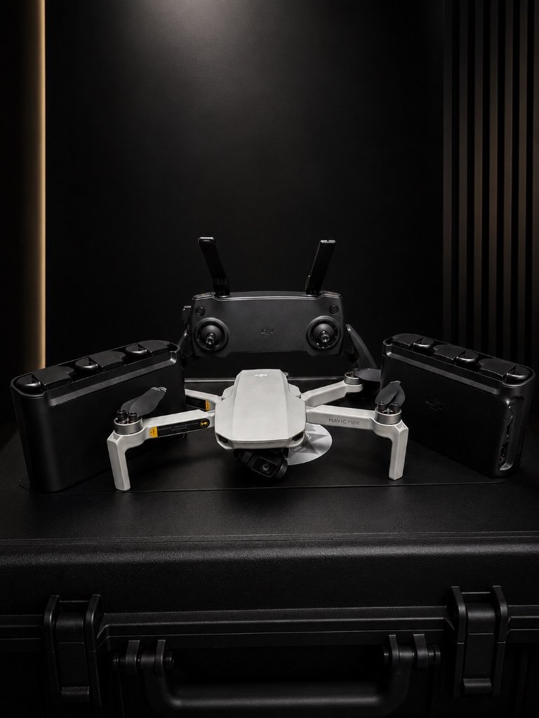
DJI Mavic Mini — Compact UAV with controller and charging hubs
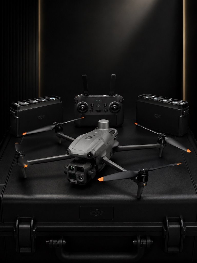
DJI Avata — FPV Drone with motion controller and goggles for rapid response
Field Deployment Team — GPI marked Cadillac Escalade patrol vehicle staged at night
Operations Showcase
80-acre property with multiple buildings and remote areas
Deployed drone patrols to supplement ground units
Improved response efficiency with real-time overhead intelligence. Recorded footage available for review.
Parking structure with blind spots and elevated access concerns
Scheduled drone sweeps during peak hours and after-hours
Enhanced visibility reduced incidents. Documented thermal imaging for facility management.
Active incident requiring rapid situational assessment
Immediate drone deployment for aerial perspective
Ground teams received real-time intelligence. Faster decision-making with reduced officer exposure.